


UAE Releases First Satellite Images from MBZ-SAT & Etihad-SAT
The Mohammed bin Rashid Space Centre has published images captured by its satellites combining optical and radar imaging technologies for disaster response, agriculture and infrastructure planning.


The Mohammed bin Rashid Space Centre (MBRSC) has released the first Earth observation images taken by its two newest satellites, MBZ-SAT and Etihad-SAT, aligning with World Space Week 2025.
MBZ-SAT, launched in January 2025, is an advanced optical imaging satellite. It features high-resolution cameras, an electric propulsion system, precise star-tracking navigation, and a rapid data transmission rate—delivering imagery within two hours of capture.
-6fa41969-6b11-4ad9-a03e-a391abc9473f.jpg)
This satellite was developed with a high level of local manufacturing involvement; roughly 90% of its mechanical structure was produced inside the UAE.
Etihad-SAT, launched in March 2025, is the country’s first Synthetic Aperture Radar (SAR) satellite. It is capable of imaging across all weather and lighting conditions using radar waves, enabling consistent monitoring of the Earth’s surface regardless of cloud cover or darkness.
-e704cb87-78d0-46d2-b20b-dee34ef32dd8.jpg)
The satellite operates in multiple imaging modes—spot, scan, and strip—making it suitable for detailed, regional, and wide-area observations.
Together, the two satellites offer complementary capabilities—optical and radar—creating a more robust Earth observation system for the UAE. Their data is expected to support critical applications in disaster management, smart agriculture, infrastructure development, maritime monitoring, and environmental research.
-5ba56b43-b738-42c5-8dac-1c8b754f9292.jpg)
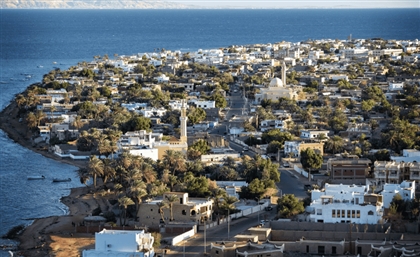
Images already shared include landmarks such as Dubai’s Palm Jumeirah, Expo City Dubai, and Abu Dhabi’s Saadiyat Cultural District, as well as Hudayriyat Island and Ain Dubai.
- Previous Article Halfpipes Under Siege: The Skateboarding Scene in Gaza & the West Bank
- Next Article Inside Egypt’s Seven UNESCO World Heritage Sites
Related Articles

Trending This Week
-
 Apr 26, 2026
 -
-
-